What Is Built-In Navigation in a Car?
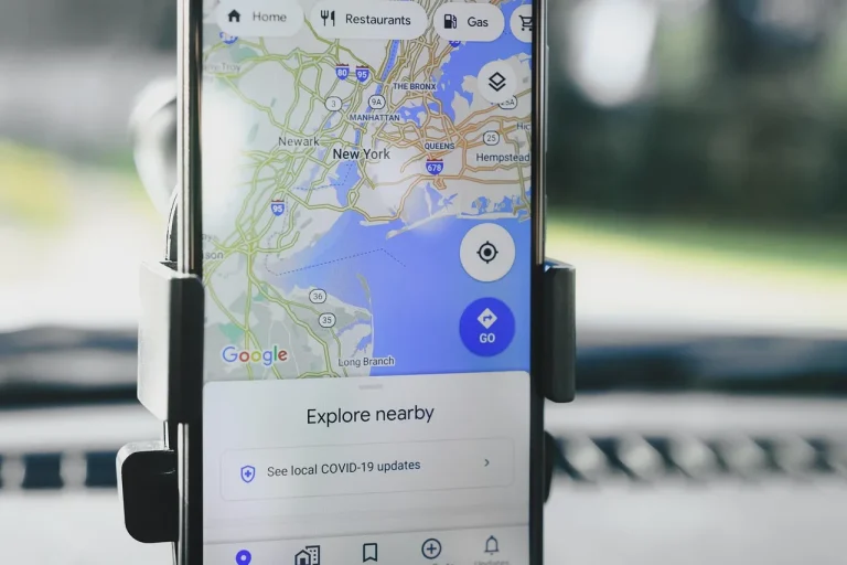
Built-in navigation is the vehicle’s own mapping system, using GPS hardware, map data, route software, and the screen and controls inside the car, so it can provide turn-by-turn guidance without relying on a phone. That can be useful when cellular reception drops or when you want vehicle-specific routing, but it can also add upfront cost and recurring fees. This guide explains how built-in navigation works, what it costs, and how it compares with Apple CarPlay, Android Auto, portable GPS units, and factory infotainment systems.
How it works on the road
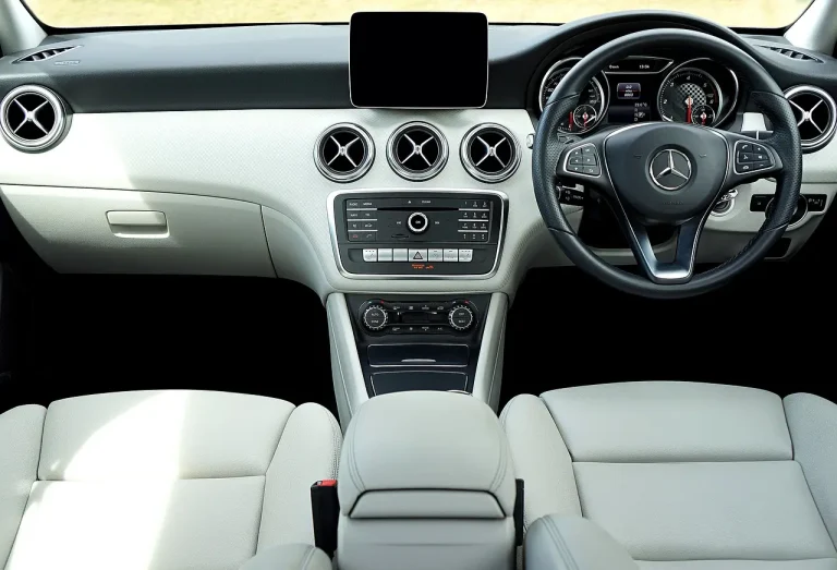
Built-in navigation is the factory-installed map and routing system inside the vehicle. It uses GPS hardware, stored map data, and the car’s screen to give turn-by-turn directions, POI search, and route guidance without relying entirely on a phone. Availability usually depends on trim level and option package, not just the model name.
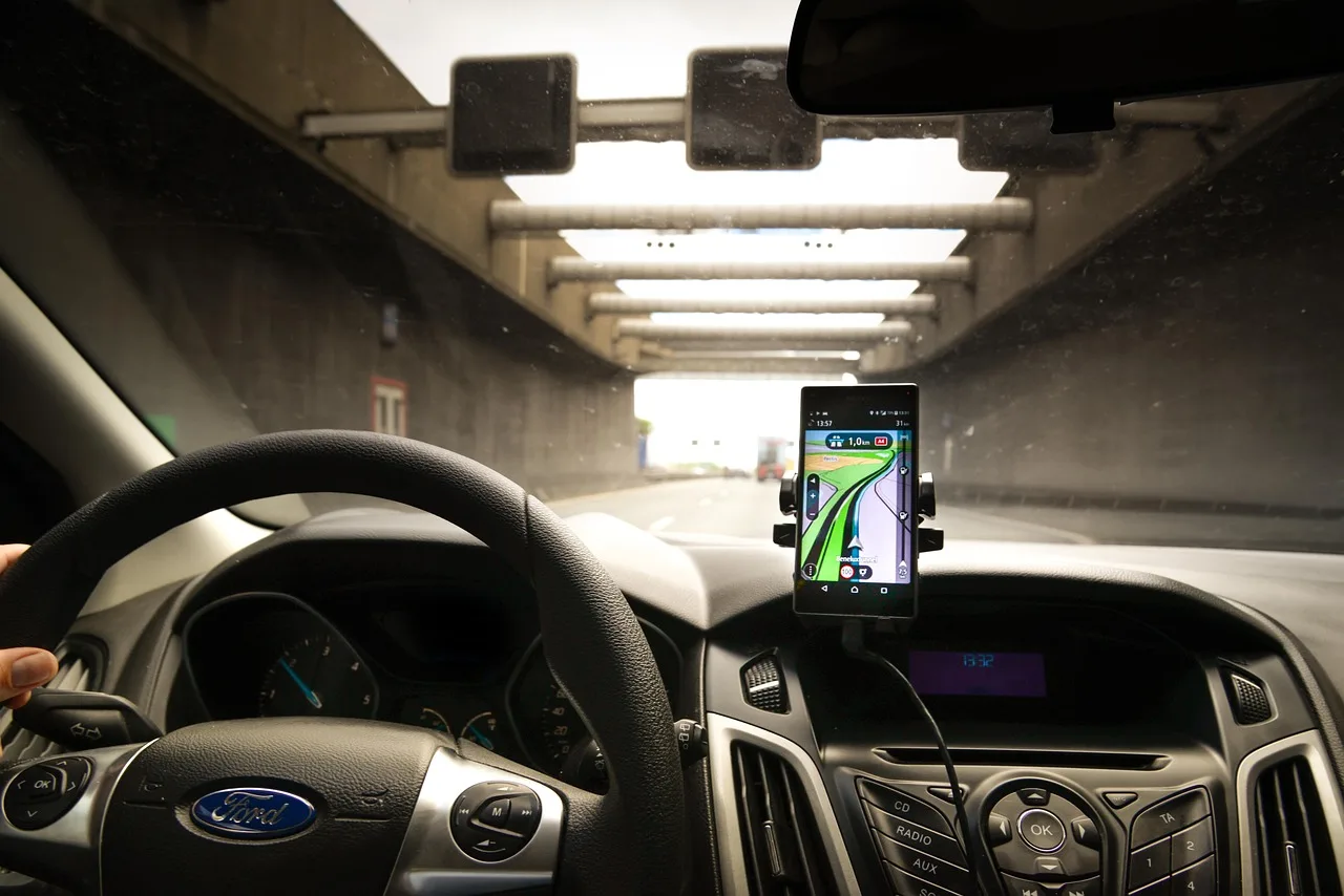
It is part of the in-vehicle infotainment system, so it can share the same screen, voice controls, and vehicle menus as audio, phone pairing, and vehicle settings. That integration is the main difference from a phone sitting on a mount.
What it does during a trip
During a trip, the system calculates your route, announces turns, shows the next maneuver, and can search for points of interest such as fuel, food, or a charging stop. Some factory systems also allow voice input, which lets you enter a destination without working through menus.
Some systems keep favorite destinations, recent trips, and stored routes. That matters on repeat drives, long commutes, and road trips where you want fewer taps.
How does built-in navigation work in a car?
Built-in navigation works as a layered system: a GPS receiver finds your position, map software matches that position to roads, the infotainment operating system displays the result, and a connectivity layer adds live traffic, cloud search, and online rerouting when data is available. If the map data is stored locally, the core route can still work when cellular service is poor or absent.
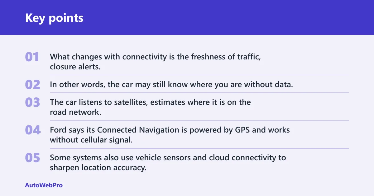
What changes with connectivity is the freshness of traffic, closure alerts, and search results. In other words, the car may still know where you are without data, but it may not know what just changed on the road ahead.
GPS receiver and satellite positioning
GPS is the base location technology. The car listens to satellites, estimates where it is on the road network, and uses that position to calculate direction and distance. Ford says its Connected Navigation is powered by GPS and works without cellular signal, which is why the system can keep guiding the driver after the data connection drops.
Some systems also use vehicle sensors and cloud connectivity to sharpen location accuracy. Ford’s connected-navigation materials and related vehicle tech descriptions point to a blend of sensor input and map data rather than GPS alone.
Map software and the infotainment system
The map database holds roads, speed limits, turn restrictions, and points of interest. The infotainment OS runs that software on the car’s screen and ties it to steering-wheel controls, touch input, and voice prompts.
Opensource.com notes that many built-in systems show 2D maps, while some luxury vehicles offer 3D maps. That is a display choice, not a separate navigation category.
Voice input and route calculation
Voice activation lets you enter destinations hands-free. The same source lists voice activation in its navigation feature set, which is useful when you want to keep your eyes on the road and your hands on the wheel.
Route calculation uses the current position, the saved map, and any live traffic data the system can pull in. If the data link is absent, the car can still calculate a route from stored map data, but it cannot adjust for current congestion in the same way.
Built-in navigation at a glance
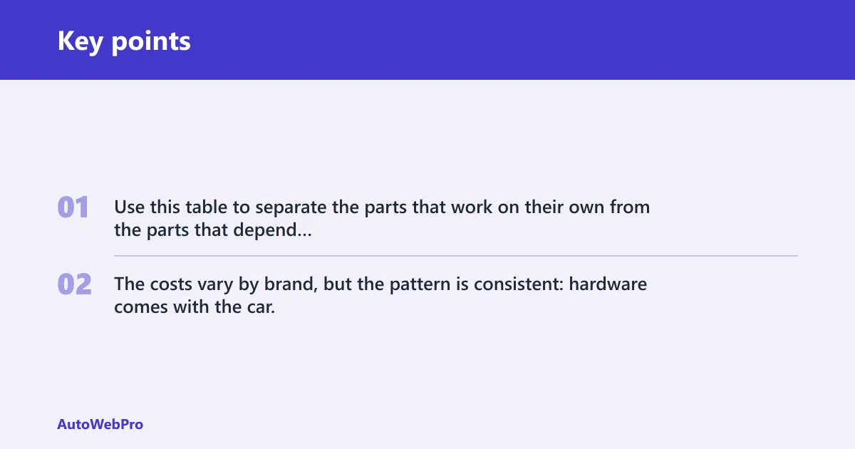
Use this table to separate the parts that work on their own from the parts that depend on a data connection. The costs vary by brand, but the pattern is consistent: hardware comes with the car, map updates may be bundled or billed later, and live services often carry a subscription.
| Component | What it does | What works offline | What needs a data connection | Common cost | Best for |
|---|---|---|---|---|---|
| GPS receiver | Finds the car’s position using satellites | Positioning and basic route guidance | Live traffic and cloud search | Included with factory navigation hardware | Drivers who want the car to know where it is without a phone |
| Map database | Stores roads, POIs, turn rules, and route data | Saved maps and route calculation | Fresh traffic, some search results, and online rerouting | May be included, or updated by subscription or one-time purchase | Rural trips, tunnels, and travel with weak reception |
| Infotainment screen and OS | Shows the map and runs the navigation app | Display, guidance, and saved favorites | Cloud services and live map features | Part of the vehicle’s infotainment system | Drivers who want built-in screen integration |
| Connectivity layer | Pulls in traffic, search, and remote updates | Usually nothing beyond cached data | Real-time traffic, cloud search, and automatic rerouting | Often free trial, then subscription | City driving, commuters, and long trips with changing traffic |
| Update cadence | How often map and traffic data refresh | Depends on cached or preloaded map versions | Connected systems may refresh more often than offline-only maps | May be included, tied to a plan, or limited to periodic map releases | Drivers who want the latest roads, closures, and reroutes |
| Offline reliability | How well navigation continues without cell service | Core routing, current position, and stored destinations | Live traffic, cloud search, and live rerouting | No extra cost if maps are already stored locally | Remote travel, dead zones, and tunnel-heavy routes |
| Tunnel/rural performance | How the system behaves when reception is weak or blocked | Route guidance usually continues if the map is stored locally | Traffic alerts and online search can drop out | Depends on whether the system has offline maps and whether live services are subscribed | Mountain roads, rural highways, and urban tunnels |
| Vehicle-aware routing | Accounts for towing, height, weight, or EV charging needs | Often limited to the built-in vehicle database | May use connected features to adjust route planning | Usually part of a premium navigation package | Truck, SUV, and EV drivers |
| 3-year ownership cost | Upfront price plus likely subscription over a typical ownership window | Can be lower if maps and live services are bundled | Can rise if traffic or navigation services require renewal | Often the cost of the option plus two to three years of service fees | Shoppers comparing factory nav against phone-based navigation |
Can built-in navigation work without cell service?
Yes, often for the core job. If the car has GPS hardware and saved maps, built-in navigation can still show your location and guide you without cell service. What stops first is the live layer: traffic updates, cloud search, and some rerouting features.
The same source says Connected Navigation works without cellular signal and that saved maps help drivers keep exploring without cellular signal. That is the key distinction to remember before you buy.
What still works offline
Offline navigation usually includes position tracking, route guidance, turn-by-turn directions, and access to preloaded or saved map data. In plain terms, the car can still know where you are and where the road goes.
This matters in rural areas, during tunnel travel, and in places where reception drops in and out. A common first-timer mistake is assuming “no signal” means “no navigation”; in many factory systems, that is not true.
What stops without data
Without data, live traffic updates stop. Cloud search also stops or becomes limited, so the car may not know about a road closure, a new gas station, or a fresh detour until the map data is updated later.
Suppose you are driving across a mountain pass and the signal fades in a tunnel. The route line can still stay on screen if the maps are stored locally, but a new traffic jam beyond the tunnel will not appear until the connection returns.
What cars have built-in navigation?
Newer cars and higher trims are more likely to include it, but availability varies by brand and package. Many manufacturers sell navigation as part of a tech bundle or infotainment upgrade rather than making it standard on every trim.
Trim level matters because the same model can be sold with or without the navigation package. Some brands include it in a tech bundle, while others tie it to premium audio, a larger screen, or a higher trim.
How factory packages differ by brand
Ford is a clear example of a branded factory system. Its Connected Navigation is available on select models, runs through SYNC 4 on those vehicles, and includes live traffic, voice activation, towing-specific routing, and battery-preconditioning support for EV charging routes, according to Ford’s connected-navigation materials and owner information. Ford also says the service is available on select SYNC 4-equipped vehicles, with a complimentary trial followed by a paid subscription.
That package approach is common. The navigation hardware may be present, but the connected features, map refreshes, or voice tools may depend on the exact trim and option package you choose.
Built-in navigation vs Apple CarPlay: which is better?
Apple CarPlay and Android Auto mirror phone apps onto the car’s screen, while factory navigation keeps the map inside the vehicle. The better choice depends on whether you value fresher app data and familiar phone workflows, or vehicle-specific routing, offline reliability, and deeper infotainment integration.
None wins every category. The right answer changes with trim level, connectivity, and how often you drive in areas with weak reception.
| Option | Accuracy | Traffic | Subscription | Hands-free use |
|---|---|---|---|---|
| Factory navigation | Strong when maps are current and GPS reception is clear | Often included on connected systems | Common for live services; map updates may be extra | Usually good, with built-in voice activation |
| Apple CarPlay / Android Auto navigation | Depends on the phone app and current map data | Usually strong because the phone stays connected to live data | App-dependent, often tied to the phone’s data plan or app account | Strong through voice assistants and steering-wheel controls |
| Portable GPS | Good for dedicated routing, weaker if maps are stale | Varies by model and update support | May be free, one-time, or annual depending on the unit | Usually decent, but less integrated with the car |
When portable GPS still makes sense
Portable GPS can still be the right choice for an older car without good infotainment, a work vehicle that changes often, or a driver who wants navigation that is separate from the phone. It can also appeal to buyers who want a device they can move between vehicles.
Portable units are less tidy on the dashboard, but they can be easier to move between vehicles. For some shoppers, that matters more than factory integration.
Should you pay for factory navigation?
Pay for factory navigation if you want built-in screen integration, hands-free guidance, and vehicle-specific features such as towing routes or EV charging route logic. Skip it if your phone already gives you the same day-to-day routing with fresh traffic and you do not need the car’s own map stack.
The decision turns on cost, update cadence, and how often you drive where signal drops. A system that looks expensive on day one can become more expensive later if map refreshes and live traffic each carry their own fee.
Subscription and update costs
Ford Connected Navigation is a concrete example. The same source says it is available on select models, costs $79.95 per year after the complimentary trial, and also offers monthly pricing at $7.99 per month.
That subscription covers the connected layer, not every possible update on the car. Map updates may be free on some systems, bundled on others, or billed annually. The only safe assumption is that you should check both the live-service price and the map-update policy.
Towing and EV routing can change the answer
The same source describes smart trailer routing for towing-specific directions, which matters for trucks and SUVs pulling a trailer. That kind of guidance can avoid narrow roads, low bridges, and weight limits that a generic phone route may not account for as well.
Ford also says the system can consider battery preconditioning for EV charging routes. If you tow, drive an EV, or regularly need vehicle-aware routing, built-in navigation can be worth more than a plain map app.
When phone-based navigation is enough
If you already use Apple CarPlay or Android Auto every day, phone navigation may be enough. You get current maps, frequent app updates, and live traffic without paying extra for many factory systems.
Picture a commuter who drives the same route to work and back, with phone signal available for most or all of the trip. In that case, factory navigation may repeat a function the phone already covers, while still adding subscription cost.
Common failure modes to watch
Stale maps, wrong location, and lost signal point to different problems. Stale maps usually mean the map database needs an update. Wrong location can point to GPS reception issues, blocked satellite view, or a sensor calibration problem. Lost live traffic usually means the data connection is down, not the whole system.
If turns look wrong in a new neighborhood, the map data may be outdated. If the car thinks you are on the next street over, the position data is the issue. If guidance works but congestion alerts disappear, the live connection is the missing piece.
- Check whether the car still shows your current position.
- See whether turn-by-turn directions still work offline.
- Look for a live traffic or cloud icon on the screen.
- Confirm whether the map version is current.
- Compare the route against a phone app if the car keeps choosing odd turns.
Frequently asked questions
What is built-in navigation in a car?
Built-in navigation is the factory-installed map and routing system inside the vehicle. It uses GPS hardware, stored map data, and the car’s screen to give turn-by-turn directions, POI search, and route guidance without relying entirely on a phone.
Is built-in navigation worth it?
It is worth it if you want hands-free use, vehicle integration, and routes tailored to the car’s size, trailer, or EV needs. It is less compelling if your phone already covers live traffic, frequent updates, and everyday routing at no added subscription cost.